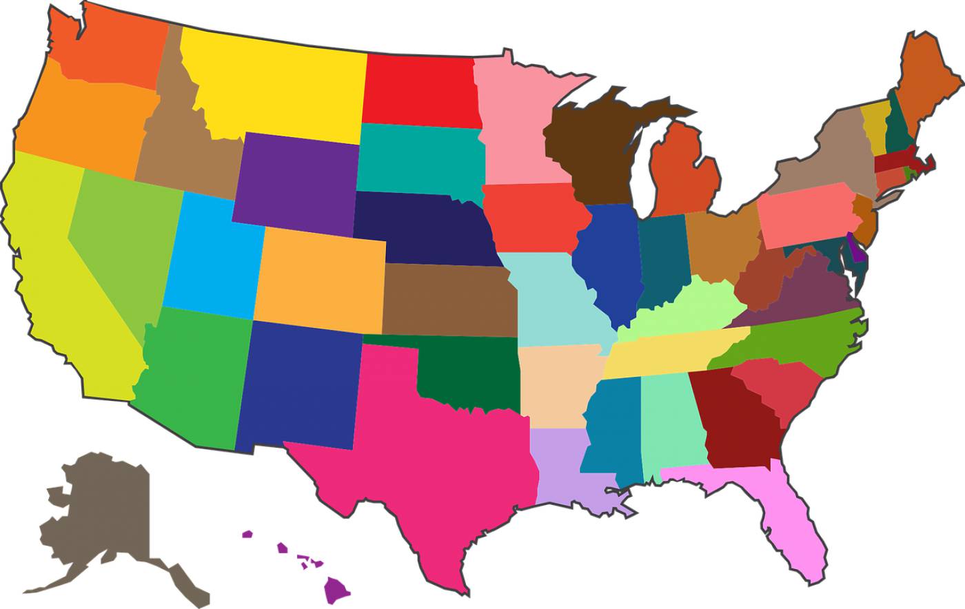
Explore our stunning collection of vector illustrations showcasing detailed maps of America, highlighting the diverse states and geographical features. Perfect for educational materials, travel guides, and graphic design projects, these maps offer a visually appealing way to represent the vast landscapes and cultural diversity of the United States. Use these versatile SVG files for web design, print media, and presentations to engage your audience with informative and captivating visuals.
Artist () tags America maps country maps vector illustrations states maps land maps geographical features SVG maps educational materials travel guides graphic design diverse states USA maps map vectors digital maps cartography vector graphics landscape illustrations state boundaries USA vector art
hawaii maps country america states landEmbed this design into your web(eg. Wordpress, Blogspot)
You may use the designs for editorial, personal and commercial works. Includes Part of Website or Mobile App, Templates, Articles or Websites
Allphotos on this site arefree for commercial use. Please consider giving a credit to https://easyvectors.com It is not required but very much appreciated..
Vector on easyvectors.com