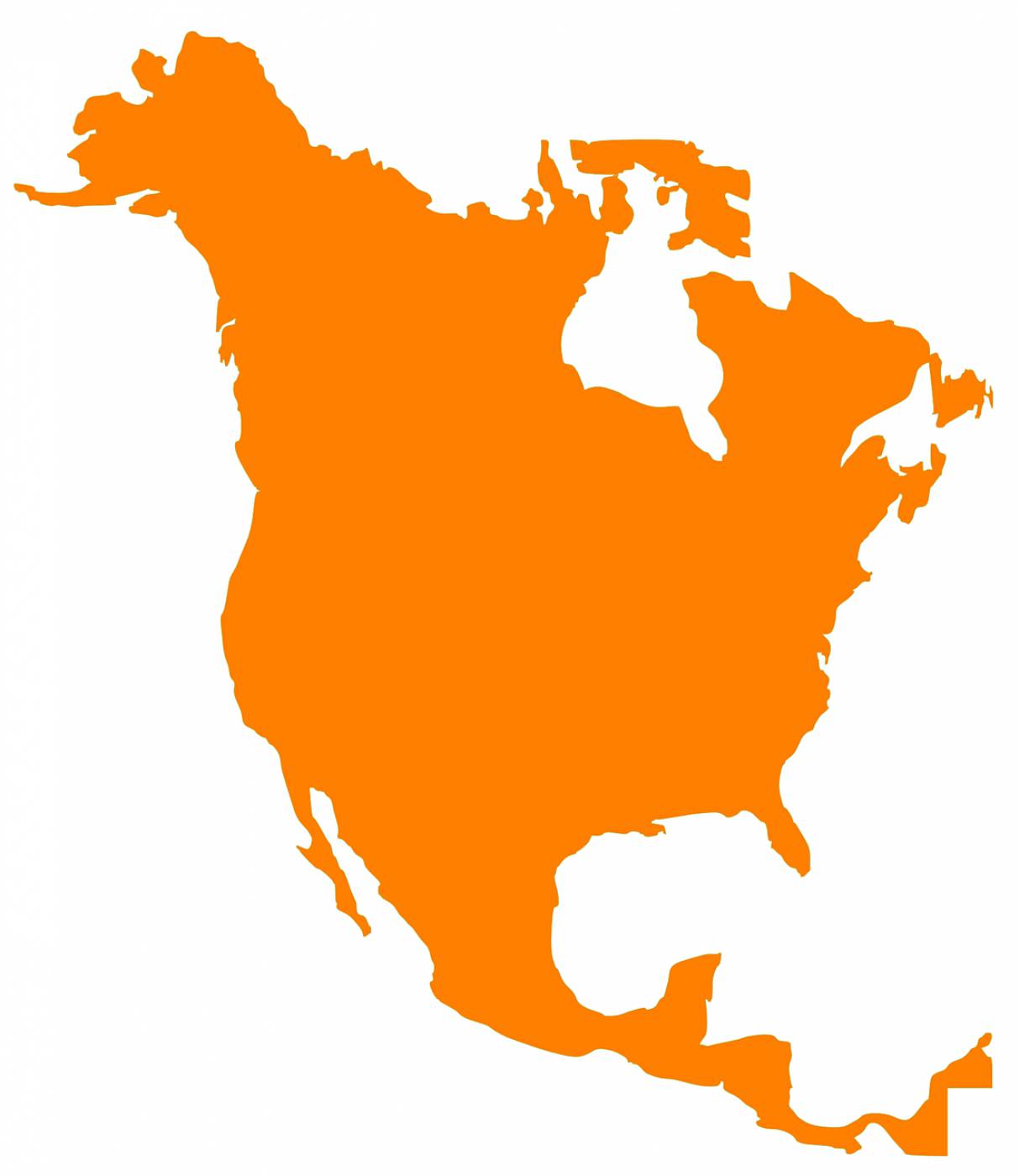

Discover a detailed and visually engaging vector map of the North American continent, perfect for educational purposes, travel guides, and geographic analyses. This exquisite vector graphic allows designers and educators to illustrate the diverse landscapes, borders, and major cities of North America. Ideal for web design, infographic creation, and presentations, this map is an essential asset for anyone looking to showcase the rich geographic features of this vibrant continent.
Artist () tags North America map vector map continental map geographical vector digital map North America continent SVG map educational vector travel guide vector geographic illustration interactive map map design artistic map cartographic vectors landscape design custom map vector graphic map for presentations educational resources
united-states map north america continentEmbed this design into your web(eg. Wordpress, Blogspot)
You may use the designs for editorial, personal and commercial works. Includes Part of Website or Mobile App, Templates, Articles or Websites
Allphotos on this site arefree for commercial use. Please consider giving a credit to https://easyvectors.com It is not required but very much appreciated..
Vector on easyvectors.com