Continents planet vectors
100 continents planet vector illustrations picked from 13.5M royalty-free files, with no more than 3 per artist so you see real variety. Every file is a scalable EPS that opens in Illustrator, CorelDRAW, Affinity Designer and Inkscape, and exports to SVG or PNG at any size.
-
 Planet earth globe icon with hand drawn schematic continents and oceans frontiers
-
 A Simple Illustration of Planet Earth showing continents and oceans
-
 Pangaea. Supercontinent and Modern continents. Continental drift on globe of the planet Earth. vector illustration
-
 World color map continents
-
 World map, colorful continents atlas EPS10 vector file.
-
 Set of monochrome icons with continents for your design
-
 Sketch drawing continents.
-
 World Continents
-
 A vibrant watercolor world map showcases various colors blending beautifully. Each continent features a unique hue, enhancing its artistic appeal while highlighting global geography.
-
 Continental drift chronological movement, historical timeline with earth continents: Pangaea, Laurasia, Gondwana.
-
 Earth globes over continents
-
 Political World Map vector illustration with different colors for each continent and isolated on white background. Editable and clearly labeled layers.
-
 Set of vector globe icons showing earth with all continents. Vector illustration.
-
 Political World Map vector illustration with different colors for each continent and different tones for each country. Editable and clearly labeled layers.
-
 Continents and countries on the world map marked.
-
 Vector isolated planets and astronomical bodies, colorful flat style illustrations. All planets of Solar System (plus Moon and Pluto). Science, astronomy, education objects set.
-
 Seven continents vector
-
 Planet
-
 Earth globes. Flat planet Earth neon icon. Vector stock illustration
-
 World planet earth geography line style icon
-
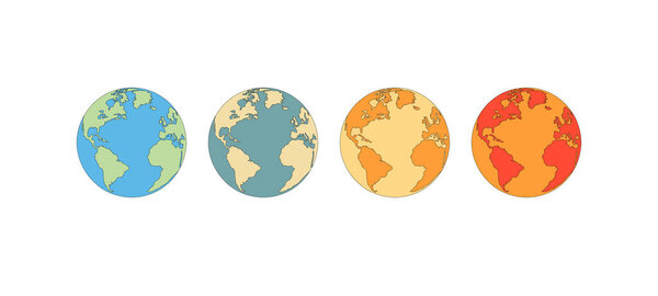 Climate change preview. Vector illustration of global warming or temperature increase on planet earth by changing colors from cold to warm. Isolated, white background, copy space.
-
 "Earth Globe Icons Set: World Map, Earth Planet, Global Symbols"
-
 Hand-draw planet Earth in space
-
 World color map continents and country name
-
 Set of halftone continents for design
-
 Vector earth globe with green continents. modern world map concept. world map realistic blue ball illustration
-
 Earth's city lights map with silhouettes of continents
-
 Vintage world map. Retro countries boundaries on topographic or marine map. Old continents navigation maps vector illustration
-
 Planet Earth
-
 World map, Globes with countries. Planet Earth. Vector
-
 Human migration paths from africa 200000 years ago, with moving direction and time of settlement on the continents. Global spread of humankind chart. Vector illustration.
-
 Vector map of the planet with animals
-
 Vector paper earth world map. Modern style 3d blue, green, yellow color illustration of continent with shadows and elevation. Globe design element for travel, infographic, report, advertisment.
-
 Green Lightning Planet Earth
-
 World globe map with colored continents and country labels. Editable vector illustration for geography and educational design projects.
-
 Political world map on transparent background, black color earth continents silhouette vector illustration
-
 7 continents in the world with white background
-
 Set of six planet Earth globes with green land map
-
 Map silhouette of the continents of earth painted in colors of the rainbow LGBT flag, LGBT vector color background, the concept of protection of the rights of sexual minorities
-
 World map in the form of colored stripes. Thermal gradation of the planet. Vector graphics
-
 World Outlines. A minimalist world map depicted in black lines with white fill on a light background. The simplicity of the form emphasizes the universality and interconnectedness of all continents. Vector.
-
 Map of the world. World map. Vector design.
-
 Globe Icon
-
 Dotted world map
-
 Colorful vector world map complete with all countries and capital cities names.
-
 Globe with orbits
-
 High detail world map. vector illustration of earth map
-
 World map countries colorful. Vector illustration.
-
 World map paper in vector
-
 Vector outline of political world map
-
 Geographic design
-
 Six black and white vector Earth globes
-
 Flags of the world in globe. Vector illustration.
-
 Animals world map
-
 Natural earth globe
-
 Illustration of children around the world
-
 Globe sign icon. World map geography symbol.
-
 Detailed vector map of the Atlantic Ocean
-
 Earth - America
-
 WORLD on a black background Canada, USA and South America
-
 World map with countries names.High detailed Vector world map complete with all countries names in blue background drawing by illustration
-
 Illustration of Indian ocean on Earth
-
 North pole
-
 Very high detailed map of the world, with slight 3 D appearance, placed on gray ellipse background,vector
-
 Map of the world silhouette
-
 The Earth
-
 Navy map of the world.
-
 Political world map
-
 Vector world map with major marine currents
-
 Blank political map of Australia. 3D Earth globe with black outline map. Vector illustration
-
 Modern Detailed Globe Map Isolated on White Background in Light Grey Color. Vector Illustration
-
 Detailed World map standard time zones
-
 Stylized images of different rotation phases of globe
-
 Isometric earth
-
 Color circle global america map geography vector illustration
-
 Colorful Classic Robinson projection vector map of the World, cleverly layered and with names of all countries, capitals and main cities, main geographical features.
-
 Ecology retro poster design concept
-
 Icon World Globe Latitude Longitude Lines
-
 A black and white outline drawing of a happy Earth mascot with cartoon eyes, hands, and shoes, pointing upwards
-
 Plate Tectonics German
-
 Political blank World Map vector illustration isolated on white background. Editable and clearly labeled layers.
-
 Detailed political world map vintage style Miller projection
-
 Colored abstract terrestrial globe
-
 Kids thematic image 1
-
 Political World Map Ukrainian language
-
 World Map vector. Gray similar world map blank vector on transparent background. Gray similar world map with borders of all countries and States of USA map, States of Australia and Countries of the UK. Quality world map.
-
 Color Sketch Globe
-
 Doodle circle global america map geography vector illustration
-
 Blank political map of Australia. 3D Earth globe with colored map. Vector illustration
-
 Plate Tectonics SPANISH TEXT
-
 World Map on background, close up
-
 World globe logo stamp
-
 Detailed Political World Map
-
 Earth globe isolated on a white background with shadow. Elements of this image furnished by NASA - vector
-
 Earth globe simple icon pictogram outline
-
 Brain world globe illustration
-
 Word map
-
 Earth globe 3D gold, realistic icon with parallels and meridians, vector world sphere design.
-
 Pacific Centred World Political Map. Countries and capitals, cities, borders and water objects, state outline. Detailed World Map vector illustration.
-
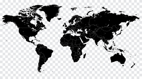 Hi Detail Black Vector Political World Map illustration
Each vector opens in a new tab with its details. Premium files are sold by Depositphotos; we may earn a commission if you buy. How this works.