United map vectors
100 united map vector illustrations picked from 13.7M royalty-free files, with no more than 3 per artist so you see real variety. Every file is a scalable EPS that opens in Illustrator, CorelDRAW, Affinity Designer and Inkscape, and exports to SVG or PNG at any size.
-
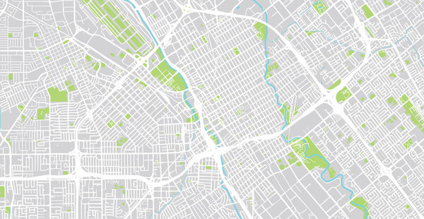 Urban vector city map of SanJose, California, United States of America
-
 White color dot pattern vector illustration of United States map design template. dot American flag vector illustration.
-
 Map pins with flag of United States of America
-
 Map pins with flag of United Kingdom
-
 United States Vector Map
-
 Map of United Kingdom, Great Britain, England template vector illustration. Icons with British travel destinations. Explore UK concept image
-
 Illustrated map of the state of Connecticut in United States with cities and landmarks. Editable vector illustration
-
 Illustrated map of the state of Georgia in United States with cities and landmarks. Editable vector illustration
-
 Illustrated map of the state of Virginia in United States with cities and landmarks. Editable vector illustration
-
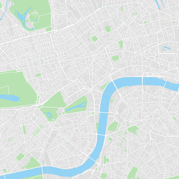 Downtown vector map of London, United Kingdom
-
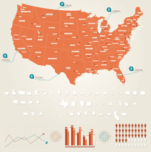 Infographic vector illustration with Map of United States of America
-
 Vector map of the city of Liverpool, Birkenhead, United Kingdom
-
 Urban vector city map of Fortworth, Texas, United States of America
-
 United Kingdom travel map
-
 Watercolor map United kingdom and Scotland pink blue
-
 United Kingdom walking map
-
 Grey map of the world with indication of United Kingdom
-
 Map United Kingdom vintage
-
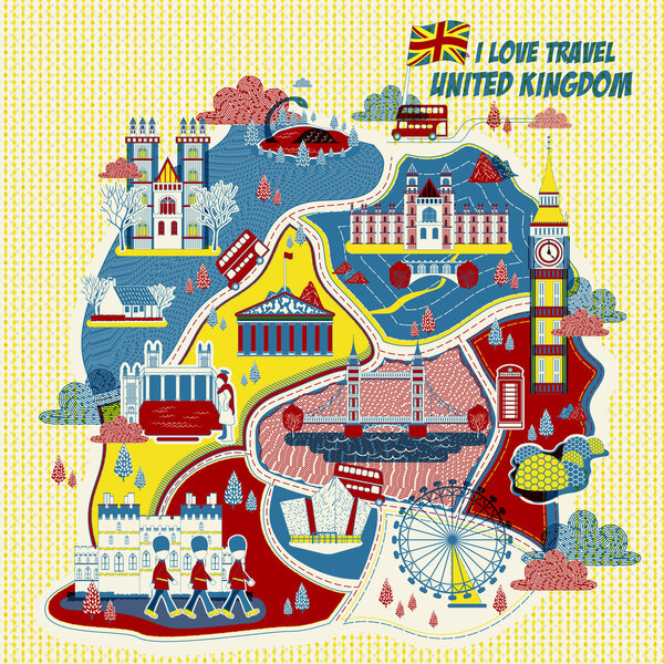 United Kingdom attractions map
-
 United States (USA) - map, flag and navigation labels - illustration.
-
 United Kingdom Blank Map with water objects
-
 United States - map and flag - illustration
-
 Outline map of the United States of America. States of the USA. Vector illustration.
-
 Map United Kingdom. Poster map of contries of the United Kingdom. Black and white print map of United Kingdom for t-shirt, poster, print. Hand-drawn graphic map with countries. Vector Illustration
-
 Baja California Sur (United Mexican States, Mexico, federal republic) map vector illustration, scribble sketch Estado Libre y Soberano de Baja California Sur (El Territorio Sur de Baja California) map
-
 USA states linear maps vector illustration. High quality simple and flat outline map collection set of the United States of America 50 states isolated on white
-
 The United States of America map
-
 USA map with geographical state borders. United States of America map. Outline USA map design with state borders. Vector
-
 The detailed map of the USA with regions or states and cities, capital. United States of America
-
 United Kingdom Blank Physical Map isolated on white
-
 Texas vector map. High detailed illustration. United state of America country
-
 United States - Highly Detailed Vector Map of the USA. Ideally for the Print Posters
-
 Tennessee map shape, united states of america. Flat concept icon symbol vector illustration .
-
 United States Of America Map With Province Line Style
-
 USA United States of America political map
-
 The detailed map of the United Kingdom with regions or states. Actual current relevant UK, Great Britain administrative devision.
-
 North Carolina map shape, united states of america. Flat concept symbol vector illustration .
-
 New York State subdivided into 62 counties, outline map. State of the Northeastern United States, one of the Mid-Atlantic states, nicknamed The Empire State. Map with boundaries and county names.
-
 World map with United Mexican States, small information box and flag
-
 Vector Political Blue map of The United States of America on white Background
-
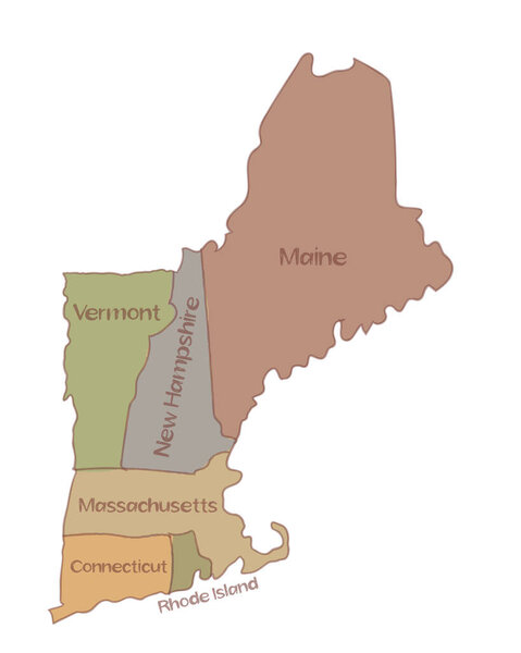 Drawing of a map of New England states comprising six states in Northeastern United States, Connecticut, Maine, Massachusetts, New Hampshire, Rhode Island and Vermont on isolated background.
-
 Map of United state of America Territories. High detailed vector map - United state of America Territories.
-
 United Kingdom Isometric map and flag. Vector Illustration.
-
 Watercolor map of USA, United States Of America
-
 Pixel map of United state of America. Vector dotted map of United state of America isolated on white background. Abstract computer graphic of United state of America map. vector illustration.
-
 United Kingdom maps with markers
-
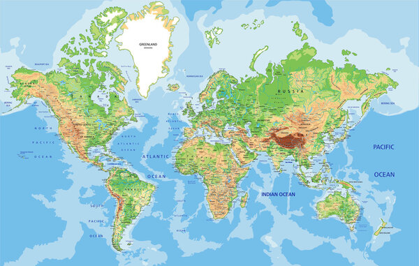 World map with labeling.
-
 USA map with names of states
-
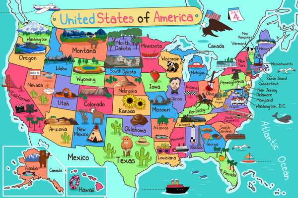 USA Map in Cartoon Style
-
 Map of London
-
 The world map
-
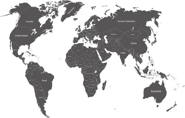 World political map
-
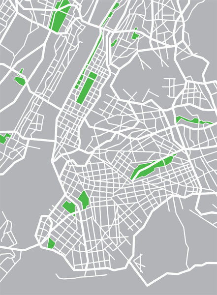 Vector illustration map of New York
-
 Map of the city center. GPS map navigator concept. Vector illustration. Eps 10.
-
 Abstract polygonal world map with hot points, network connections
-
 Cartoon map of Ireland. Travel illustration with irish landmarks, buildings, food and plants. Funny tourist infographics. National symbols. Famous attractions. Vector illustration.
-
 American flag on a map of the USA
-
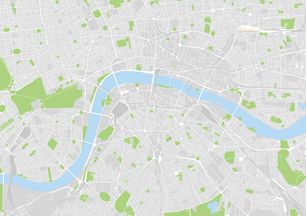 Vector city map of London, UK
-
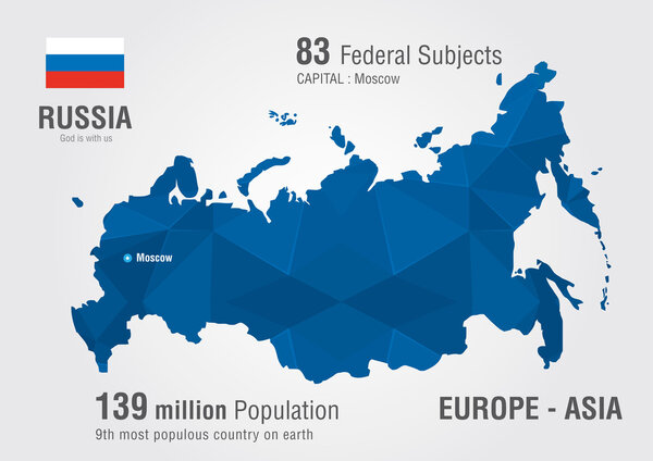 Russia world map with a pixel diamond pattern.
-
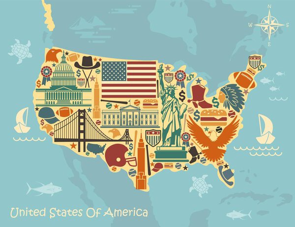 Stylized map of USA with traditional symbols
-
 Stylized map of America
-
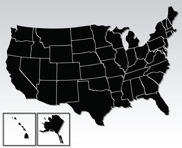 The United States of America
-
 United Kingdom
-
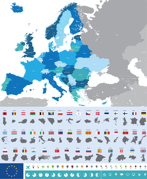 Vector map of Europe with flags
-
 USA map on dark blue background flat illustration
-
 Vector illustration of a world globe map
-
 Vector high detailed world map
-
 Black pen hand drawn Europe map vector on paper illustration
-
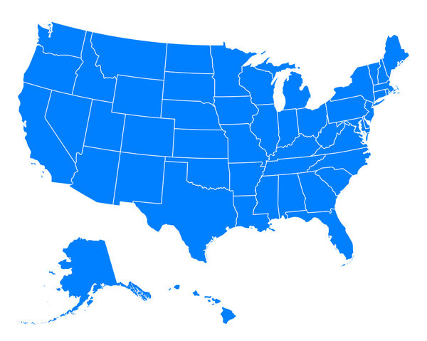 Accurate map of USA
-
 Manchester, England, Monochrome Map Artprint
-
 Blue polygonal North America map
-
 Abstract world map. Colorful background. Vector illustration. Eps 10
-
 Abstract telecommunication network map - USA
-
 Map USA vintage
-
 Map of the U.S. state of Georgia
-
 United Mexican States infographics, statistical data, sights
-
 Doodle Map of Russia
-
 Set of 30 high detailed silhouette maps of American Countries and territories, and map of America vector illustration.
-
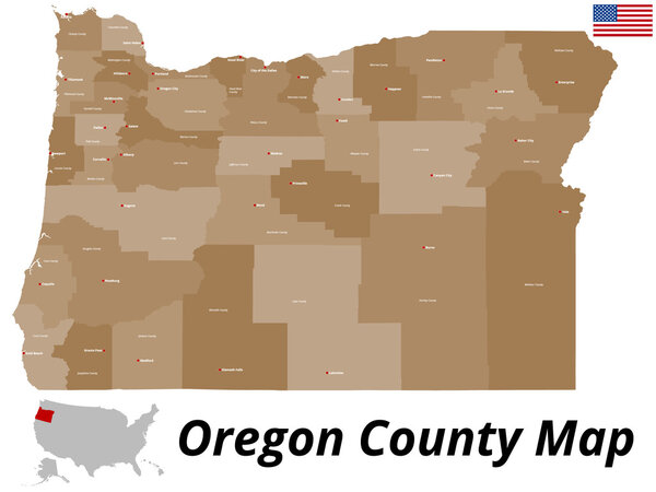 Oregon County Map
-
 Map of North Ameraca
-
 North and South America Political Map and Navigation Icons
-
 USA map designed in isometric style, orange circle map.
-
 Dotted stylized silhouette map of Ireland island together with Northern Ireland. Vector illustration
-
 Map of Europe silhouette with country borders isolate on black
-
 Map of Wisconsin state
-
 The Americas, North and South America, political map
-
 Map of Hawaii
-
 American map and map pin icon. Editable vector.
-
 Blue usa map with states border
-
 Map of North America
-
 Hand drawn US map whith map pins vector illustration
-
 Usa map and states
-
 Vector illustration design of continent North America map with countries name and border,for website,template,wallpaper,brochure,leaflet,flyer,banner,presentation,projects
-
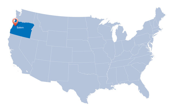 Map of USA with the indication of State of Oregon
-
 England map icon vector illustration symbol design
-
 Map of USA - simple hand drawn sketch style black line outline contour map. Vector illustration isolated on white. American country border silhouette drawing.
-
 Illinois county map
-
 State Alaska map on transparent background. Blank map of Alaska with regions in gray for your web site design, logo, app, UI. USA. EPS10.
-
 The Great Britain map in gray on a transparent background
-
 Connecticut outline map set
Each vector opens in a new tab with its details. Premium files are sold by Depositphotos; we may earn a commission if you buy. How this works.
