States map vectors
100 states map vector illustrations picked from 13.9M royalty-free files, with no more than 3 per artist so you see real variety. Every file is a scalable EPS that opens in Illustrator, CorelDRAW, Affinity Designer and Inkscape, and exports to SVG or PNG at any size.
-
 United States (USA) - map, flag and navigation labels - illustration.
-
 United states of america map illustration
-
 The United States of America map island silhouette
-
 United States map glowing neon lamp sign. Realistic vector illustration. Purple brick wall, violet glow
-
 United States Vector Map
-
 USA map with names of states
-
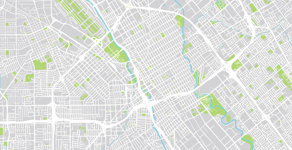 Urban vector city map of SanJose, California, United States of America
-
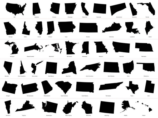 Map of The United States of America (USA) Divided States Maps Silhouette Illustration on White Background
-
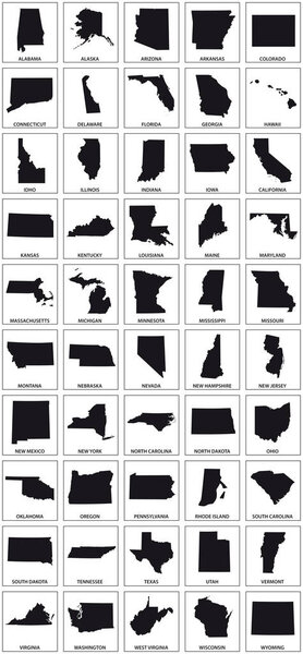 Black silhouette maps of 50 us states.
-
 United States Map Vector Vintage Dark Blue Beige - Customizable layered political map of United States with administrative divisions for website, education, reports, news, politics, print, poster
-
 USA Map. United States Map.
-
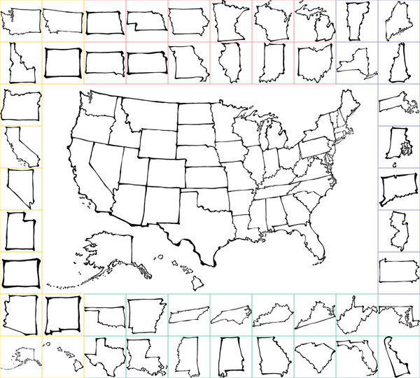 USA map with states. brush strokes.
-
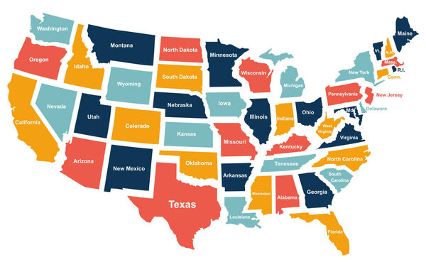 Colorful USA map with states. Vector illustration
-
 Set of US states maps
-
 Maps collection of USA states, black contour maps of US state. Vector set.
-
 World Map vector. Gray similar world map blank vector on transparent background. Gray similar world map with borders of all countries and States of USA map, States of Australia and Countries of the UK. Quality world map.
-
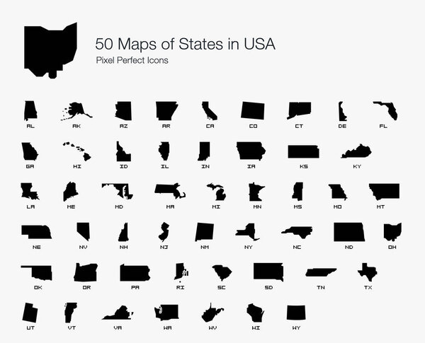 All 50 USA States Map Pixel Perfect Icons (Filled Style). Vector icons of the complete United States of America states map.
-
 United States (USA) - infographic map - illustration.
-
 United States map with flag style
-
 Map of United state of America Territories. High detailed vector map - United state of America Territories.
-
 Unaited States of America map
-
 United States of America road map
-
 United States Map with Location Pins
-
 Usa map with map icons. United states of america map.
-
 United States network map Abstract polygonal map design Network connections vector illustration
-
 United states map. High detailed USA map. Linear icon. Transparent background. Vector isolated elements. Usa map icon line symbol.
-
 USA vector linear map. Thin line United States map.
-
 USA vector map contour with federal states borders. United States of America country outline silhouette isolated on white background. Vector Illustration for web, design, infographics, app, poster.
-
 United States of America Silhouette map.
-
 United States of America, silhouettes of states, gray political map. Fifty geographical areas and borders, united by a union and federal government with the capital city of the District of Columbia.
-
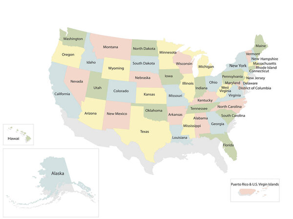 United states of America political map with drop shadow on white background
-
 Set of pointers with map of the United States
-
 Political map of United States and Mexico with administrative divisions. Colorful map with countries and states name labels. Vector illustration
-
 Illustration of Map of the USA with name of each states
-
 Detailed United States of America map
-
 United States of America map. USA map. Flat black and white vector illustration. American map for poster, banner, t-shirt. Design USA cartography map.
-
 Map of the United States by population
-
 Colorful USA map with states and capital cities.
-
 Detailed United States map
-
 United States of America physical map.
-
 Vector map of United States with indication of Washington, D.C.
-
 USA. states border map
-
 United States of America. Beautiful modern graphic USA map. 50 states. Alaska and Hawa.
-
 United States funny map with patterns
-
 United States of America political map
-
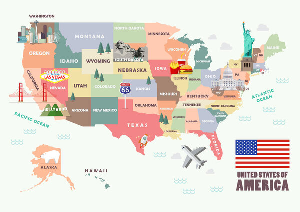 Map of the United States of America with Famous attractions
-
 Highly Detailed Map of United States
-
 United States, geographic regions, colored political map. Five regions, according to their geographic position on the continent. Common but unofficial way of referring to regions of the United States.
-
 Map of The United States of America USA with territories and Islands. Different map variations for your design. Stock Vector illustration isolated on white background.
-
 Map of United States split into Census regions and divisions. Region definition, widely used for data collection and analysis. Most commonly used classification system. English. Illustration. Vector
-
 Map of the United States of America split into individual states
-
 USA Map United States Blank Outline Doodle Isolated Vector Drawing
-
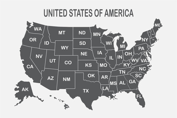 Poster map of United States of America with state names on the white background. Black and white print map of USA for t-shirt, poster or geographic themes
-
 Texas accurate vector exact detailed State Map with Community Assistance and Activates Icons Original pastel Illustration. United States of Americ
-
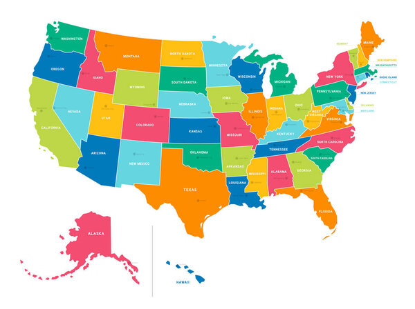 Bright Colors Full Vector Political Map of the United States of America, isolated on White Background
-
 USA map with abbreviated state names. United States of America cartography with colored states. Vector illustration.
-
 Vector USA map glass card paper 3D america united states
-
 Usa map vector isolated illustration with shadow on transparent background. Web banner for concept design. United states map. Usa silhouette. EPS 10
-
 Blank similar USA map isolated on white background. United States of America country. Vector template for website, design, cover, infographics. Graph illustration.
-
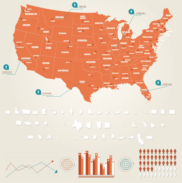 Infographic vector illustration with Map of United States of America
-
 United States Electoral Map
-
 Accurate correct usa map with separated states
-
 USA map with federal states. Vector illustration United states of America.
-
 Map of the Brazilian States with flags
-
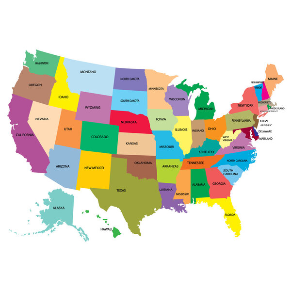 Map america with states
-
 United States 3D Map
-
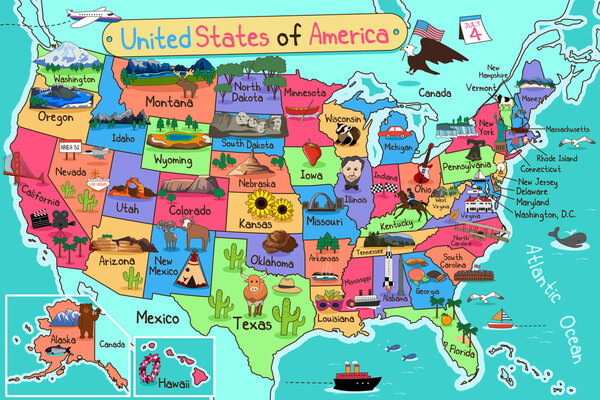 USA Map in Cartoon Style
-
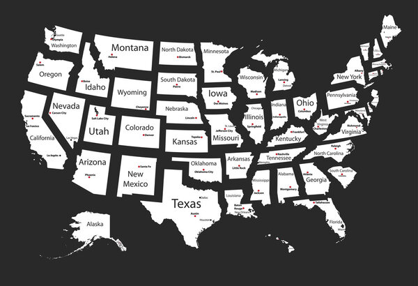 Usa states
-
 States of America pack
-
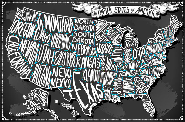 United States of America on Vintage Handwriting BlackBoard
-
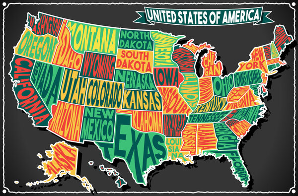 USA Map Vintage Blackboard 2D
-
 USA High Detail Blue Map Set
-
 Simlified vector map of USA
-
 United States of America 50 states and 1 federal district. US st
-
 Map of USA with fruits
-
 The world map
-
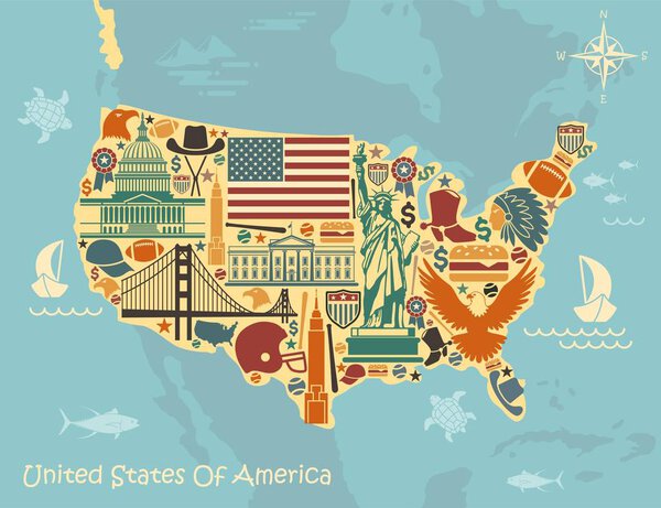 Stylized map of USA with traditional symbols
-
 Stylized map of America
-
 Abstract telecommunication network map - USA
-
 Usa map with flag
-
 Dotted world map
-
 Blank outline map of USA
-
 Hand made map of America
-
 Vector map icon with red pointer
-
 USA map puzzle
-
 USA map card paper 3D natural vector
-
 Set of Infographic Elements for the Country of United States of
-
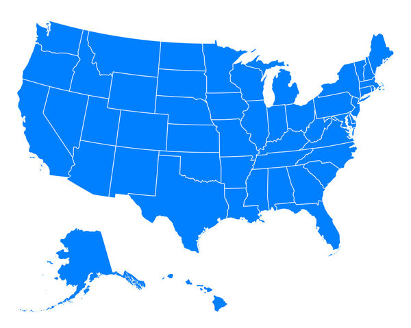 Accurate map of USA
-
 Detailed political map of the USA and flat map pointers
-
 Map of Brazil
-
 Ouutline map of Usa
-
 USA map. Very high accurate drawing. Alaska, Hawaii, USA. Vector eps10.
-
 Highly detailed political map of the USA
-
 Hand drawn US map whith map pins vector illustration
-
 Detailed Relief map of USA. Retro color
-
 Hand drawn US map vector illustration
-
 Continents vector maps country infographics set. Slides presentation templates with flags
-
 Map of USA with Hawaii and Alaska
-
 USA Map vector illustration isolated on white background with country names in spanish. Editable and clearly labeled layers.
-
 Outline USA map
Each vector opens in a new tab with its details. Premium files are sold by Depositphotos; we may earn a commission if you buy. How this works.
