States border vectors
100 states border vector illustrations picked from 9.1M royalty-free files, with no more than 3 per artist so you see real variety. Every file is a scalable EPS that opens in Illustrator, CorelDRAW, Affinity Designer and Inkscape, and exports to SVG or PNG at any size.
-
 Nigeria Map, states border map. Vector illustration.
-
 United States Map, states border map. Vector illustration.
-
 American flag motif, horizontal rectangle frame. Decorative rectangular border made of made with stars and stripes pattern, based on the national flag of the United States. Isolated illustration.
-
 North Dakota ND State Border USA Map Outline
-
 United States flag border
-
 High Quality map of Guadalajara is a city United Mexican States , with borders of the districts. Map of Guadalajara for your web site design, app, UI. EPS10.
-
 United States flag symbol frame banner border with blank space for your text and images.
-
 Arizona AZ State Border USA Map Outline
-
 Connecticut CT State Border USA Map Outline
-
 Outline United States Of America map. US background template. Map of America with separated countries and interstate borders. All states and regions are named in the layer panel.
-
 Independence Day United States frames and dividers. USA flag illustration, decorations - border lines. Memorial Day, traditional patriotic US icons for American national holiday. Veterans day USA set.
-
 Fourth of July border, USA border with blue and red stars on isolated background, United States flag stars banner for 4th July, Labor Day, Veterans Day or Memorial Day poster, vector card, illustration
-
 Political map of North American countries Canada, United States of America and Mexico with administrative divisions. Solid gray blank map with white borders. Vector illustration
-
 Oregon map. Blank vector map of the Us State. Borders of Oregon for your infographic. Vector illustration.
-
 Washington map Blank vector map of the Us State with counties Borders of Washington for your
-
 High Quality map of Mexico City is a capital United Mexican States , with borders of the districts. Map of Mexico City for your web site design, app, UI. EPS10.
-
 Black and White United States Map with state borders, USA Map
-
 World Map vector. Gray similar world map blank vector on transparent background. Gray similar world map with borders of all countries and States of USA map, States of Australia and Countries of the UK. Quality world map.
-
 South Dakota map Blank vector map of the Us State with counties Borders of South Dakota for your
-
 High detailed map of USA with states borders
-
 USA vector map contour with federal states borders. United States of America country outline silhouette isolated on white background. Vector Illustration for web, design, infographics, app, poster.
-
 Vermont state map, USA. Set of Vermont maps with outline border, counties and US states map. Black and white color vector illustration.
-
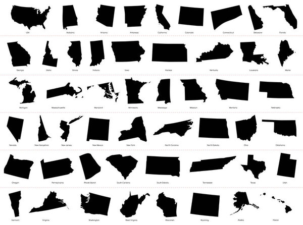 Map of The United States of America (USA) Divided States Maps Silhouette Illustration on White Background
-
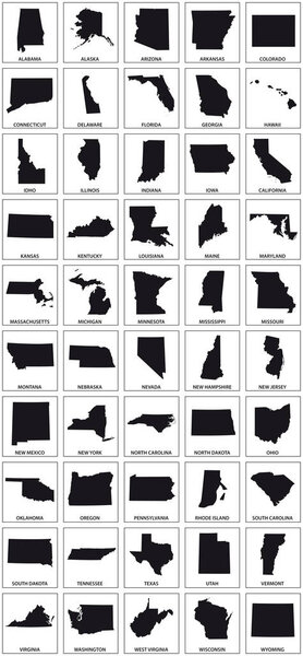 Black silhouette maps of 50 us states.
-
 United States map with flag style
-
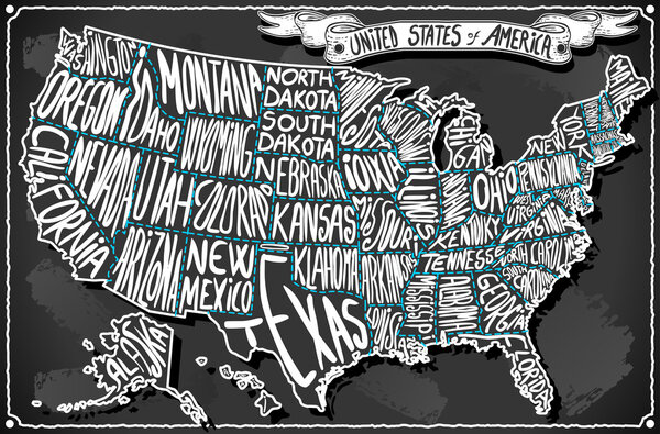 United States of America on Vintage Handwriting BlackBoard
-
 Politician to build a wall on the USA border
-
 United States of America 50 states and 1 federal district. US st
-
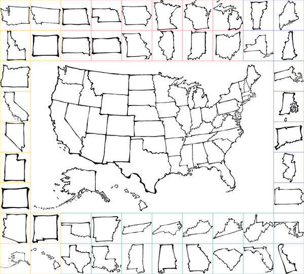 USA map with states. brush strokes.
-
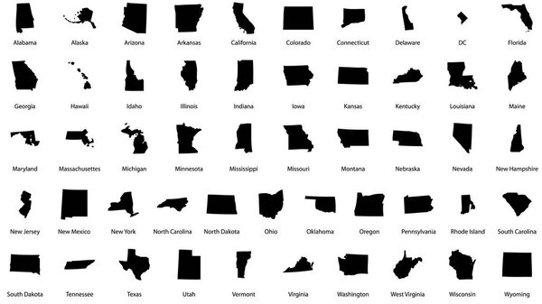 Vector illustrations of all fifty states of the united states of america with the names of each state written below
-
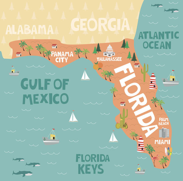 Illustrated map of the state of Florida in United States
-
 Outline map of the United States of America. States of the USA. Vector illustration.
-
 Illustrated map of the state of Massachusetts in United States with cities and landmarks. Editable vector illustration
-
 Illustrated map of the state of Delaware in United States with cities and landmarks. Editable vector illustration
-
 Maps collection of USA states, black contour maps of US state. Vector set.
-
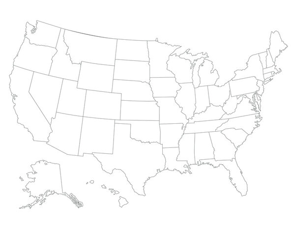 United States map
-
 Political map of USA, United States of America, in four colors on white background. Vector illustration
-
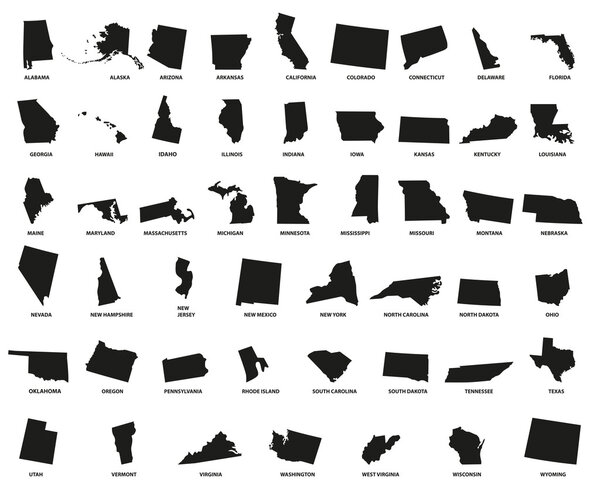 USA states - vector illustration.
-
 Map of the U.S. state of Oregon
-
 American flag Patriotic border
-
 Patriotic Stars and Stripes Rectangular Frame. American Flag Border with Stars and Stripes.
-
 Vector US patriotic border. Perfect for any use.
-
 Red, White, and Blue USA Flag Concept Border Template. Patriotic Stripes and Stars Background Banner for Memorial Day, 4th of July, or Election Event.
-
 American flag style square shaped border with alternating red and white stripes with blue star-studded corners. Blank central area providing space for text or other content. Isolated illustration.
-
 Kansas, state of USA - solid black outline map of country area. Simple flat vector illustration
-
 Topographic Relief Peaks and Valleys Map of US Federal State of Pennsylvania
-
 Massachusetts state map. US state map. Massachusetts outline symbol. Vector illustration
-
 Topographic Relief Peaks and Valleys Map of US Federal State of Washington
-
 Johnson County, Kansas (U.S. county, United States of America, USA, U.S., US) map vector illustration, scribble sketch Johnson map
-
 Cuyahoga and Champaign County, Ohio State (U.S. county, United States of America, USA, U.S., US) map vector illustration, scribble sketch map
-
 Map of the U.S. state of Maryland
-
 Map of the U.S. state of Arkansas
-
 Vector illustration of a Connecticut state outline.
-
 Blank Arizona vector map silhouette illustration isolated on white background. High detailed illustration. United state of America country. Empty editable Arizona line contour map.
-
 Map of The United States of America (USA) Divided States Maps Outline Illustration on White Background
-
 Set of Louisiana map, united states of america. Flat concept icon vector illustration .
-
 Oklahoma state map. US state map. Oklahoma outline symbol. Vector illustration
-
 Topographic Relief Peaks and Valleys Map of US Federal State of Rhode Island
-
 Texas map shape, united states of america. Flat concept icon symbol vector illustration .
-
 United States flag seamless texture, vector background.
-
 Kansas state outline administrative and political vector map in black and white
-
 Montana state map. US state map. Montana outline symbol. Vector illustration
-
 Orange County, Florida (U.S. county, United States of America, USA, U.S., US) map vector illustration, scribble sketch Orange map
-
 Colorado state blank outline map
-
 Hawaii American state vector high quality map. Simple hand made line drawing map
-
 Oregon map shape, united states of america. Flat concept icon symbol vector illustration .
-
 Ukraine territory borders with Crimea. Ukraine country map. European countries. Doodle drawing outline sketch.
-
 North carolina state outline administrative and political vector map in black and white
-
 Outline map of Pennsylvania white background. USA state, vector map with contour.
-
 Vector illustration frame of the United States of America flag with stars and stripes - graphic frame element for your text or design
-
 Patriotic Frame border
-
 Kansas State silhouette map
-
 Pennsylvania map high quality vector. American state simple hand made line drawing map
-
 Set USA map icon isolated on black and white, transparent background. Map of the United States of America. Vector.
-
 Oklahoma map on white background. Oklahoma state symbol. outline Oklahoma map sign. flat style.
-
 American flag patriotic background. United States blank frame with space for text. Independence day design template. Stars and stripes backdrop
-
 Map of The United States of America USA with territories and Islands. Different map variations for your design. Stock Vector illustration isolated on white background
-
 San Luis Potosi state blank outline map
-
 Outline map of Idaho white background. USA state, vector map with contour.
-
 Oklahoma state outline administrative and political vector map in black and white
-
 Satellite map of Detroit, Michigan,United States. City streets. Street map and map of the city center
-
 Outline map of Indiana white background. USA state, vector map with contour.
-
 Map of The United States of America (USA) State of Oklahoma - Illustration on White Background.
-
 Pennsylvania state map silhouette in the United States
-
 Map of the U.S. state of Hawaii on a white background.
-
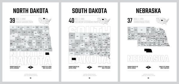 Highly detailed vector silhouettes of US state maps, Division United States into counties, political and geographic subdivisions of a states, West North Central - North Dakota, South Dakota, Nebraska - set 7 of 17
-
 Montana State silhouette map
-
 Washington state blank outline map
-
 America icon. Trendy modern flat linear vector America icon on white background from thin line United States of America collection, editable outline stroke vector illustration
-
 USA vector linear map. Thin line United States map.
-
 Vector illustration of a Florida map, United States of America.
-
 Highly detailed vector silhouettes of US state maps, Division United States into counties, political and geographic subdivisions of a states, West South Central - Arkansas, Louisiana, Oklahoma - set 12 of 17
-
 Texas map contour. Texas state map. Glyph and outline Texas map. US state map.
-
 The North Carolina State outline map isolated on white background
-
 United States of America map. USA Map With Divided States. Outline US map.
-
 United States of America political map simple outline vector illustration, blank template for design, educational purposes
-
 Map of the united states with shadow of the map of washington
-
 Hawaii state map icon vector illustration
-
 Outline Political US Map with titles of the states. All USA regions are separated and named in a layer panel
-
 Idaho vector maps counties, townships, regions, municipalities, departments, borders
Each vector opens in a new tab with its details. Premium files are sold by Depositphotos; we may earn a commission if you buy. How this works.


