State map vectors
100 state map vector illustrations picked from 10.4M royalty-free files, with no more than 3 per artist so you see real variety. Every file is a scalable EPS that opens in Illustrator, CorelDRAW, Affinity Designer and Inkscape, and exports to SVG or PNG at any size.
-
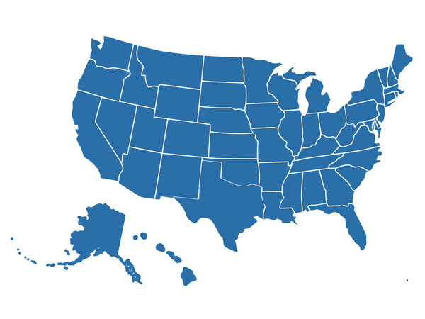 Blank similar USA map isolated on white background. United States of America country. Vector template for website, design, cover, infographics. Graph illustration.
-
 United States Vector Map
-
 Road map of the US American Federal State new york
-
 United States (USA) - map, flag and navigation labels - illustration.
-
 Vector map of the united states of america
-
 Map of the U.S. state of Hawaii
-
 Map of the U.S. state of Washington
-
 Map of the U.S. state of New York
-
 USA map with names of states
-
 World Map vector. Gray similar world map blank vector on transparent background. Gray similar world map with borders of all countries and States of USA map, States of Australia and Countries of the UK. Quality world map.
-
 Jacksonville City ( United States cities, United States of America, usa city) map vector illustration, scribble sketch City of Jacksonville map
-
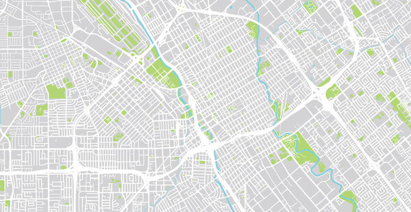 Urban vector city map of SanJose, California, United States of America
-
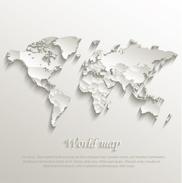 World political map card paper 3D natural vector individual states separate
-
 Pratapgarh District Highlighted in Uttar Pradesh State Map of India
-
 USA map with states
-
 Sitapur Highlighted in Uttar Pradesh State Map of India
-
 Washington state map navigation set
-
 Banda District Highlighted in Uttar Pradesh State Map of India
-
 Rio de Janeiro State map
-
 Georgia State Interstate Map
-
 Washington State on USA Map. Washington flag and map.
-
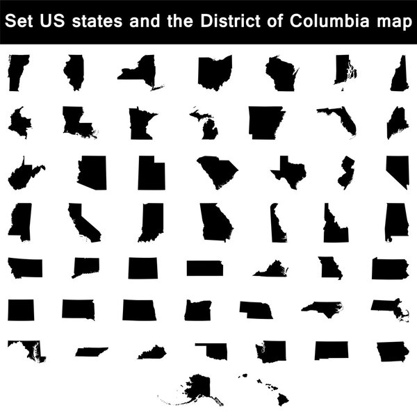 Set of US states maps vector
-
 United States map with separated states, flag and geo
-
 Highly Detailed Map of United States
-
 Vector road map of the US state of Texas
-
 Brazil Map With Separate States in Brazil Flag Color Theme Editable Vector
-
 United States, rivers and lakes, political map. The main stems of the longest rivers, and the largest lakes of the United States of America, with the Great Lakes of North America. Illustration. Vector
-
 Texas state icon map set
-
 New york state outline administrative and political vector map in black and white
-
 Maryland state blank outline map
-
 Arab World states political map with higlighted 22 arabic-speaking countries of the Arab League. Northern Africa and Middle East region. Vector illustration
-
 Physical map of Washington state
-
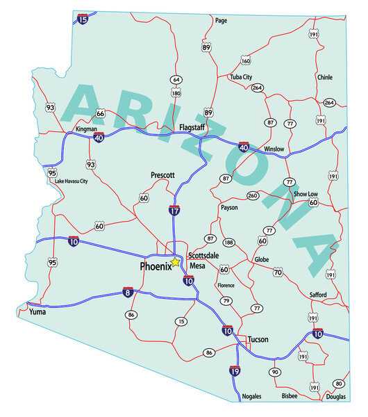 Arizona State Interstate Map
-
 Washington state detailed map and flat icon set
-
 Vector Valentine Mississippi State Map Mosaic of Hearts
-
 Map of the U.S. state of Massachusetts on a white background
-
 Indiana, U.S. state, subdivided into 92 counties, multi colored political map with capital Indianapolis, borders and county names. State in the Midwestern region of United States. The Hoosier State.
-
 Kansas, U.S. state, subdivided into 105 counties, multi colored political map with capital Topeka, borders and county names. State in the Midwestern region of the United States. The Sunflower State.
-
 New York NY State Border USA Map Outline
-
 Vermont state blank outline map
-
 USA map with separated states
-
 Kentucky state blank vector outline map set
-
 Washington (state) - vector map
-
 California state icon map set
-
 Washington state road and national park vector map
-
 USA. Poster map of United States of America. Black and white print map of USA for t-shirt, poster or geographic theme. Hand-drawn black map. Vector Illustration
-
 North Carolina, state of USA - solid black outline map of country area. Simple flat vector illustration
-
 Map of the U.S. state of Texas on a white background
-
 White Outline Counties Map With Counties Names of US State of Tennessee
-
 The Colorado State counties map with labels
-
 Retro style illustration of an outline of Louisiana state map of United States of America, USA with fleur-de-lis inside on isolated background.
-
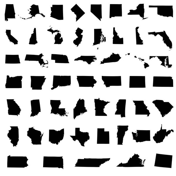 Icons States map. America states map icons on a white background
-
 Louisiana state map polygonal with spotlights places
-
 Vector Washington state Map silhouette. Isolated vector Illustration. Black on White background.
-
 Missouri State Map Silhouette and Outline, USA State Vector Illustration
-
 Indiana USA State Map
-
 Rio Grande do Sul State regions map
-
 Map of the U.S. state of Louisiana
-
 Map of the U.S. state of Iowa
-
 Florida FL state Maps. Black silhouette and outline isolated on a white background. EPS Vector
-
 Mississippi map isolated on white background, Mississippi state, United States.
-
 Michigan state map silhouette icon
-
 United states florida icon on white background. florida state sign. black map of florida. flat style.
-
 Ohio USA state map vector tag cloud illustration
-
 Doodle vector map of Florida state of USA
-
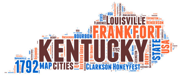 Kentucky USA state map vector tag cloud illustration
-
 Ohio State map in gray on a black background 3d
-
 New york ny state flag in map shape silhouette
-
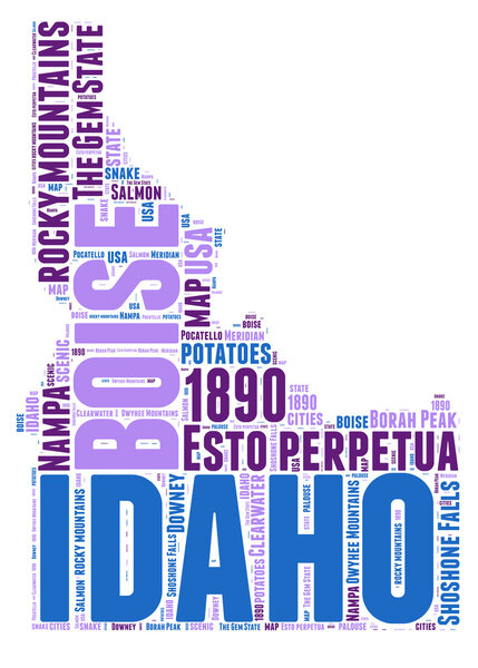 Idaho USA state map vector tag cloud illustration
-
 Colorado state blank outline map
-
 California ca state flag in map shape
-
 Missouri state map polygonal with spotlights places
-
 Hand holds the flags of Latvia, Lithuania and Estonia, which symbolizes unity for independence against the background of the map of the Baltic States
-
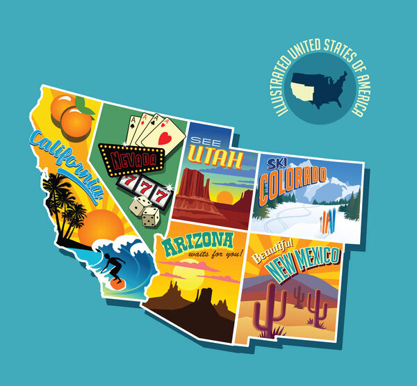 Illustrated pictorial map of southwest United States. Includes California, Nevada, Utah, Arizona, New Mexico and Colorado. Vector Illustration.
-
 Georgia US state map polygonal with spot lights places
-
 Florida State Map and Flag
-
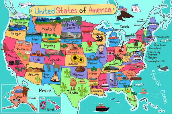 USA Map in Cartoon Style
-
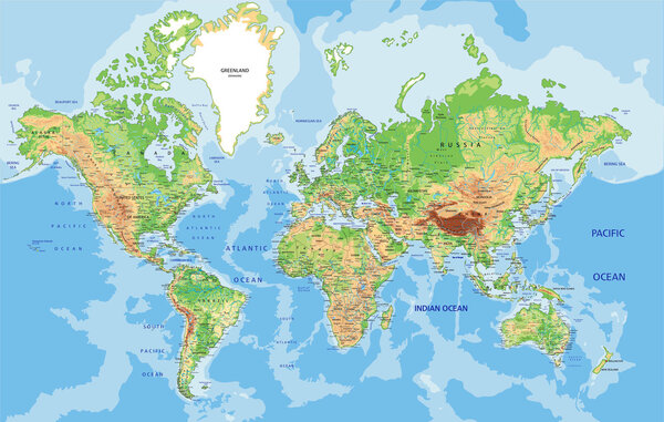 World map with labeling.
-
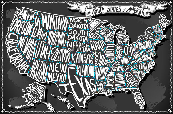 United States of America on Vintage Handwriting BlackBoard
-
 States of America pack
-
 New Jersey, Delaware, Maryland retro state facts Illustrations
-
 Eastern United States Maine Massachusetts New Hampshire travel illustrations designs
-
 Vector blank map of USA in blue
-
 Label sticker cards of State South Dakota USA.
-
 Label sticker cards of State Missouri USA.
-
 Label sticker cards of State New York USA
-
 New York map
-
 Set of UNITED KINGDOM Maps with Main Map and Regional maps
-
 Georgia County Map
-
 Massachusetts map
-
 Tennessee map
-
 Georgia road and highway map. Vector illustration.
-
 New York state counties
-
 Vector map of the USA highlighting New York and California with iconic landmarks. Simple design with green and pink accents
-
 Vector USA Map with different colors for each country.
-
 Oregon county map
-
 USA map puzzle
-
 USA Map with GPS Icons.
-
 Map of New Jersey
-
 Tennessee County Map
Each vector opens in a new tab with its details. Premium files are sold by Depositphotos; we may earn a commission if you buy. How this works.
